Views
Actions
File:DEM-Patuakhali 43-1A-&-43-2F-CEGIS-(Nov-2016).pdf
From Blue Gold Program Wiki
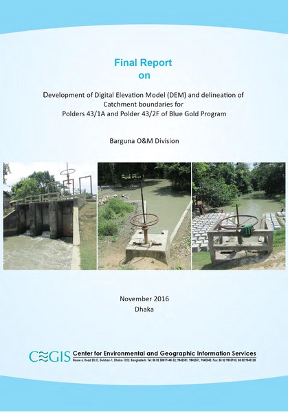
 Size of this JPG preview of this PDF file: 419 × 599 pixels. Other resolution: 168 × 240 pixels. |
Original file (1,273 × 1,821 pixels, file size: 3.63 MB, MIME type: application/pdf, 50 pages)
DEM and Delineation of Catchment boundaries for Polders (43/1A, 43/2F)
File history
Click on a date/time to view the file as it appeared at that time.
| Date/Time | Thumbnail | Dimensions | User | Comment | |
|---|---|---|---|---|---|
| current | 08:56, 2 July 2020 |  | 1,273 × 1,821, 50 pages (3.63 MB) | Saad.chowdhury (talk | contribs) |
You cannot overwrite this file.
File usage
There are no pages that use this file.
